Archive for
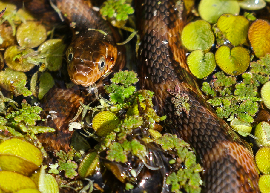
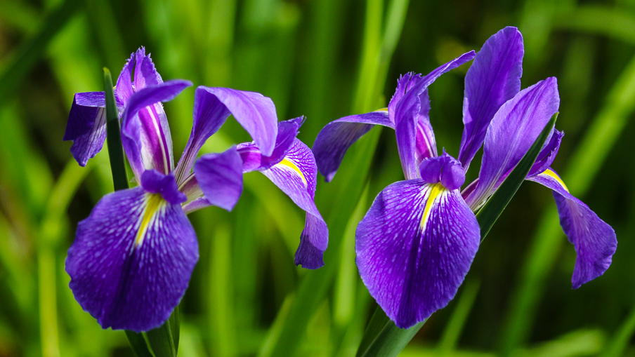
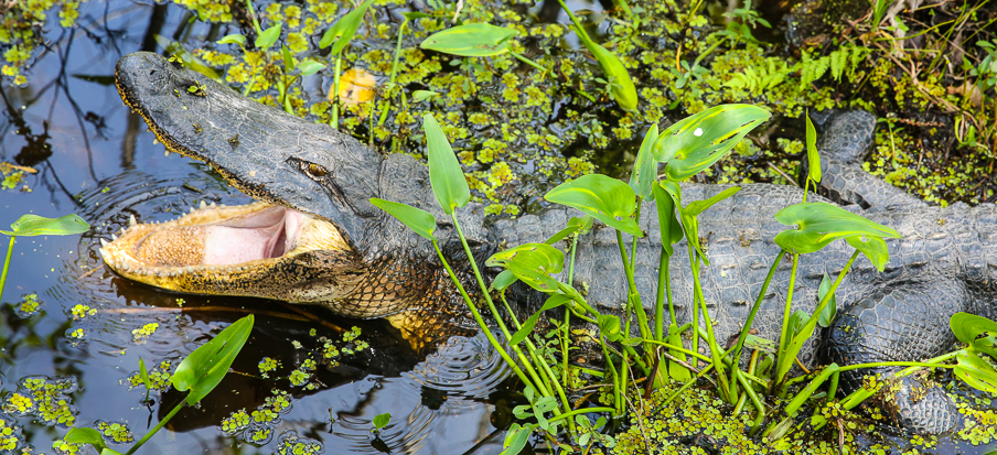
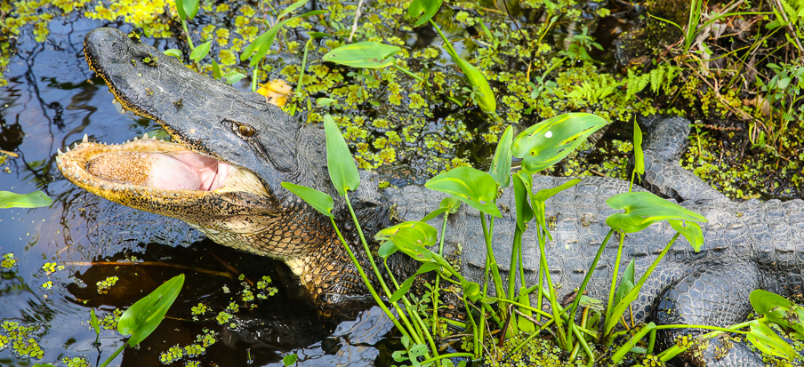
St Marks NWR ~ Panhandle Florida
Warning: Use of undefined constant gad_content_tag_filter_replace - assumed 'gad_content_tag_filter_replace' (this will throw an Error in a future version of PHP) in /home/dx87kwtjkt0i/public_html/wp-content/plugins/web-ninja-google-analytics/webninja_ga.php on line 1813
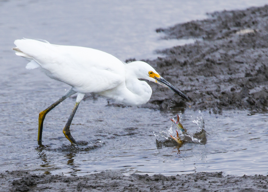
St Marks NWR ~ Panhandle Florida, in the time of Covid-19
*****




St Marks NWR – Expanded Image Gallery link
Barataria Preserve ~ NOLA
Warning: Use of undefined constant gad_content_tag_filter_replace - assumed 'gad_content_tag_filter_replace' (this will throw an Error in a future version of PHP) in /home/dx87kwtjkt0i/public_html/wp-content/plugins/web-ninja-google-analytics/webninja_ga.php on line 1813
Barataria Preserve ~ NOLA
*****
Arabi ~ NOLA
Warning: Use of undefined constant gad_content_tag_filter_replace - assumed 'gad_content_tag_filter_replace' (this will throw an Error in a future version of PHP) in /home/dx87kwtjkt0i/public_html/wp-content/plugins/web-ninja-google-analytics/webninja_ga.php on line 1813
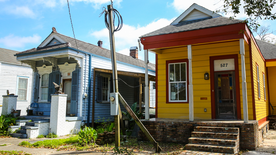
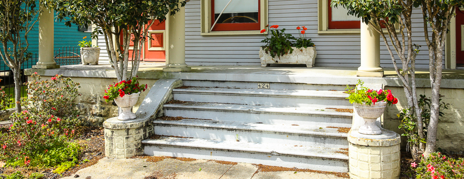
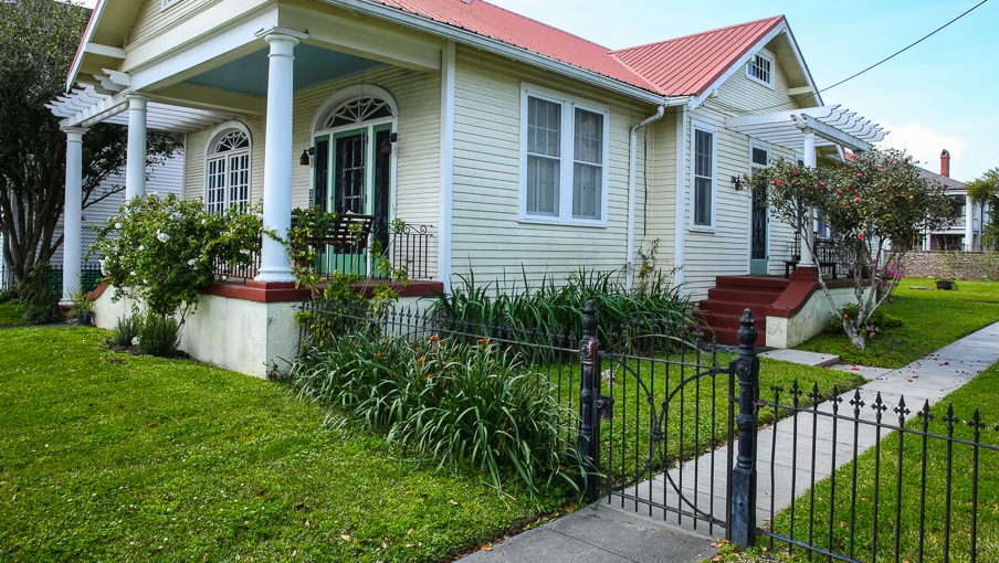
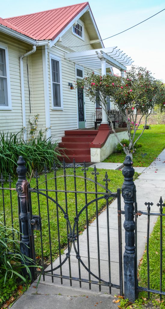
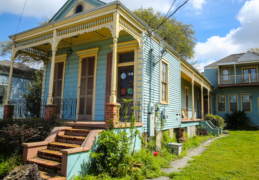
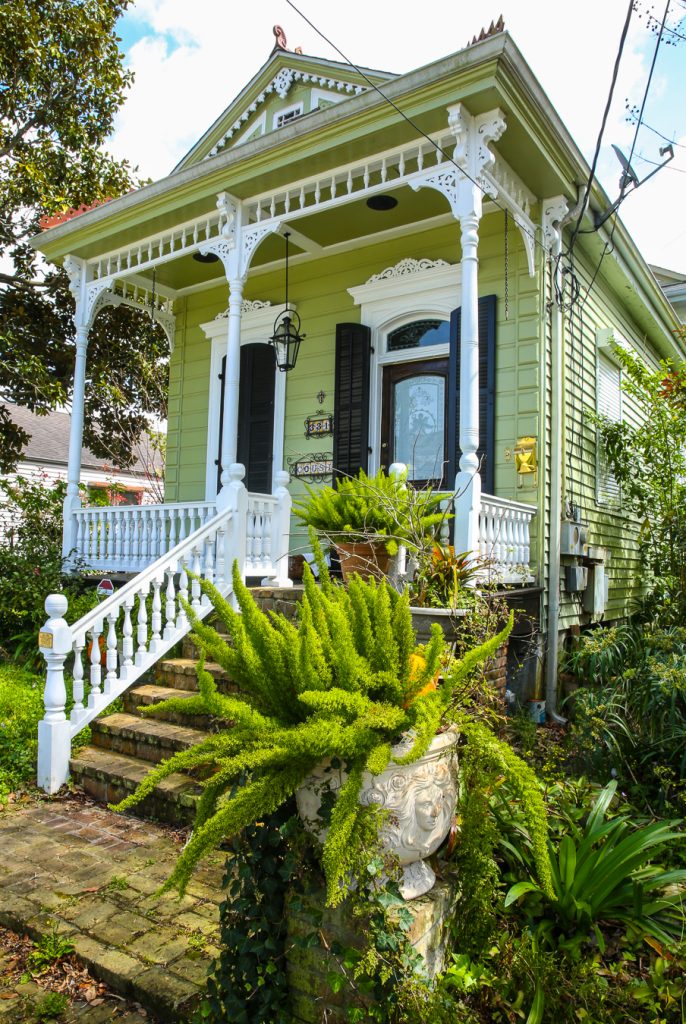
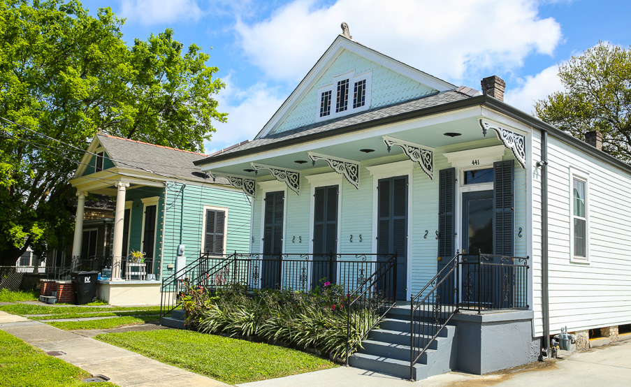
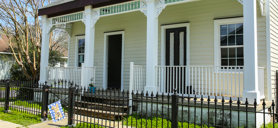
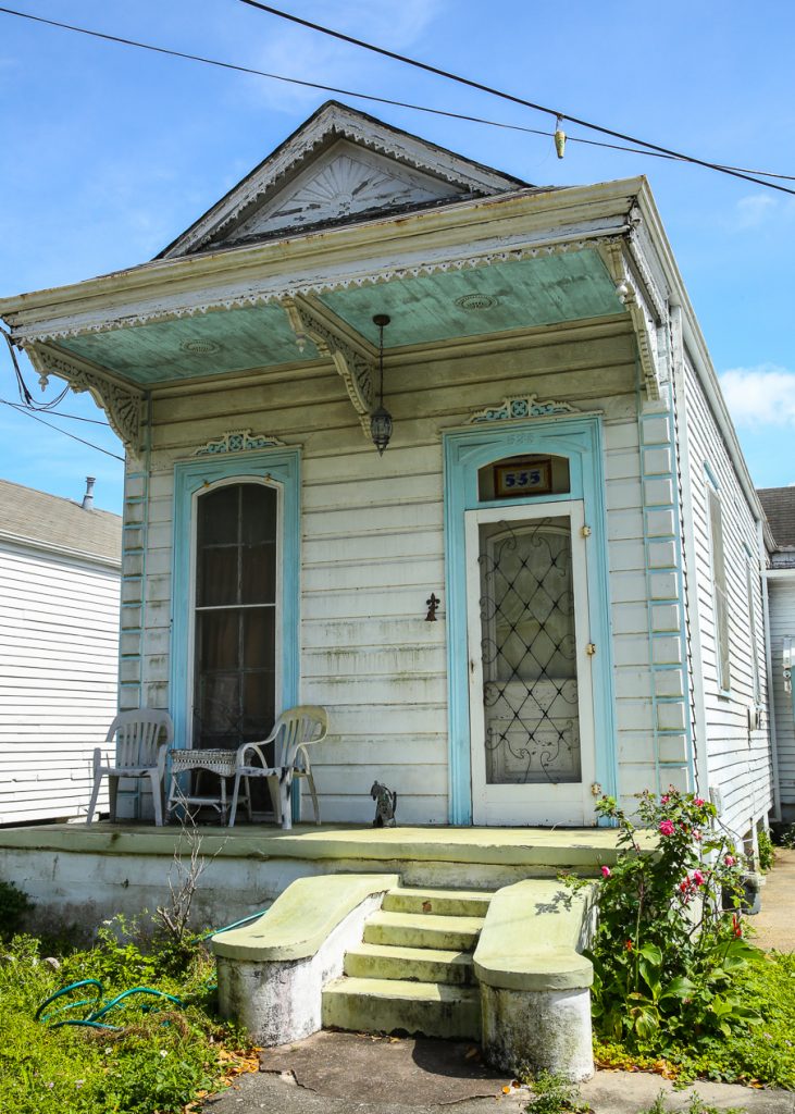
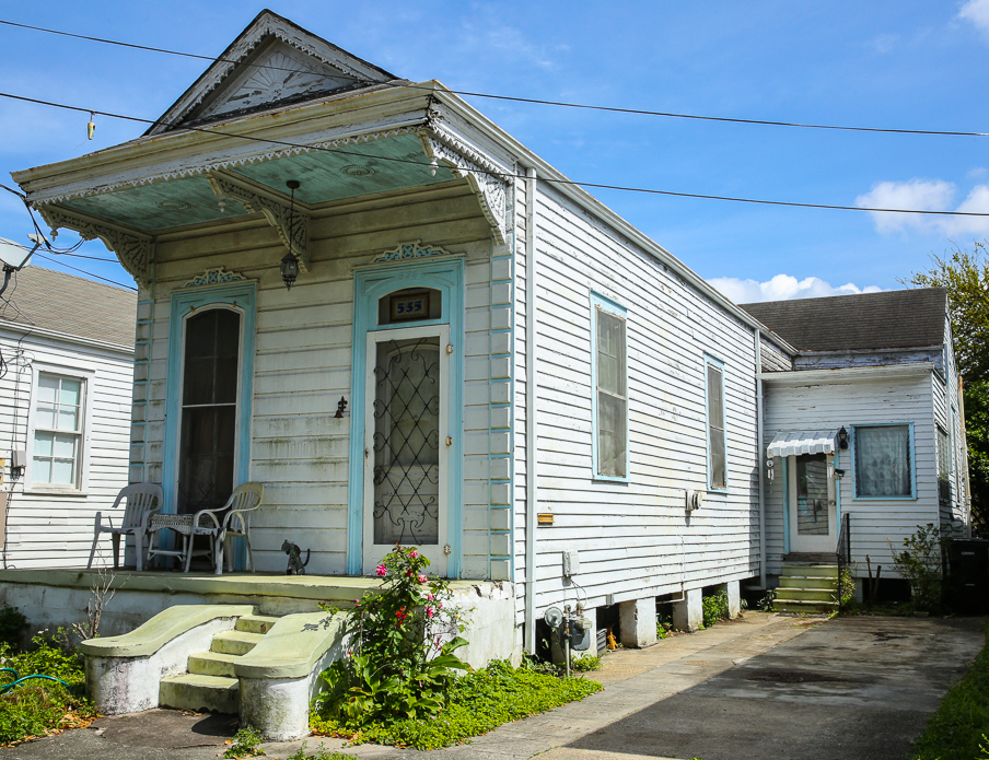
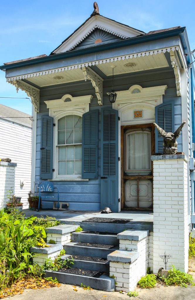
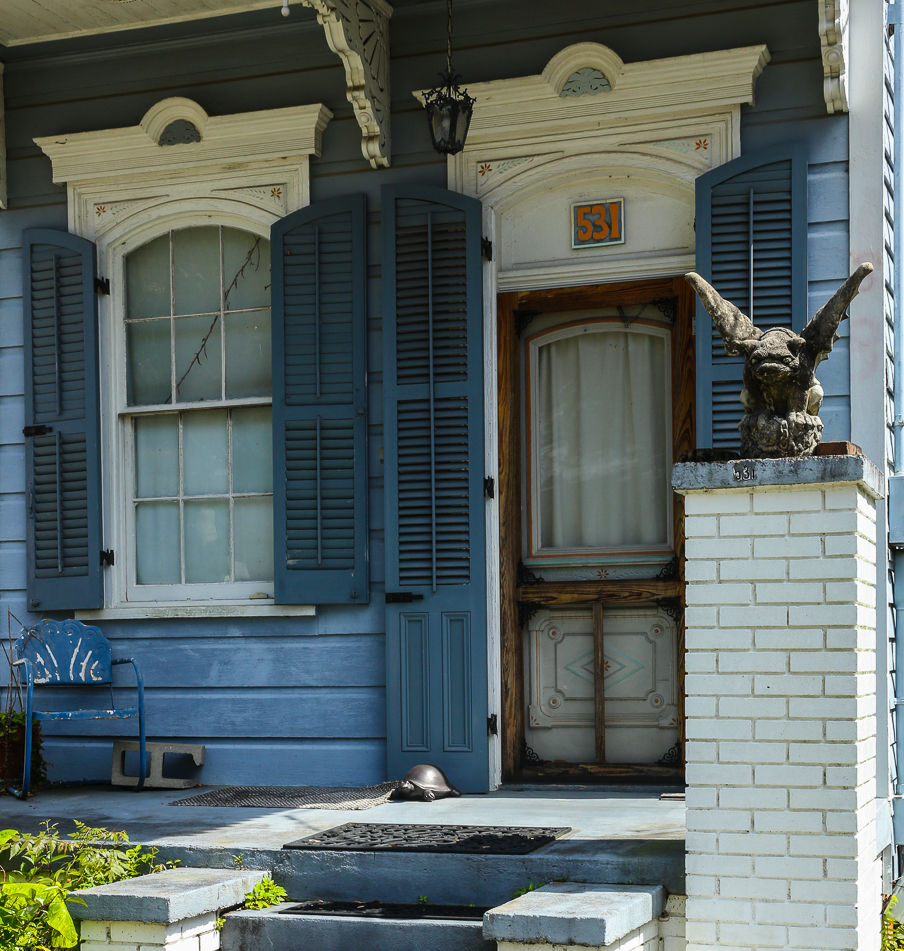
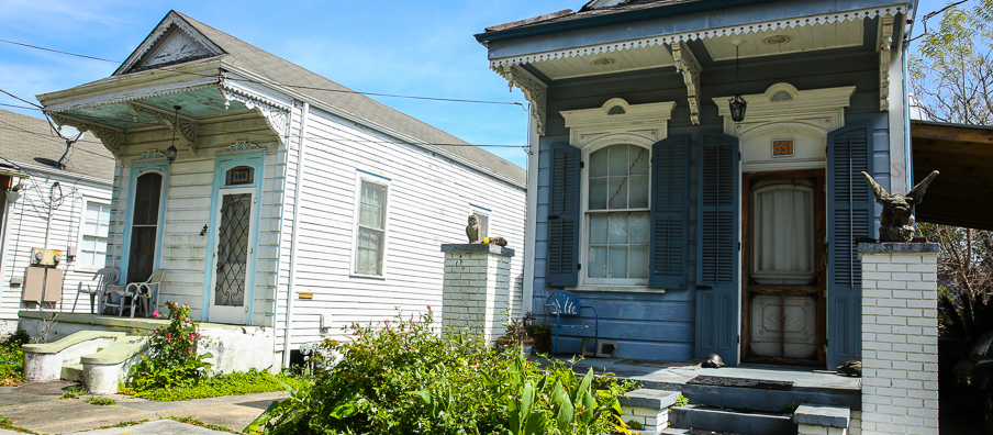
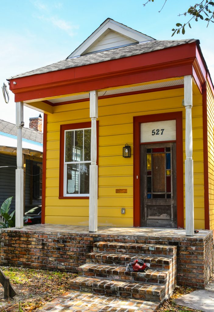
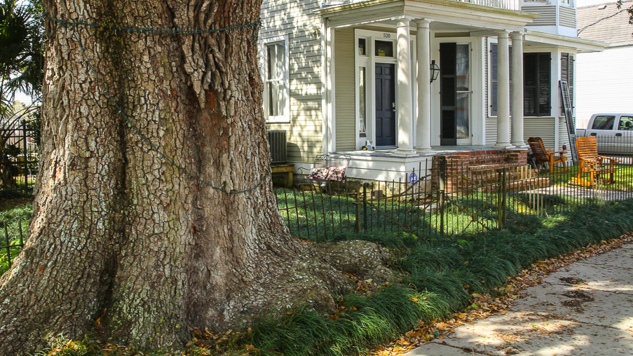
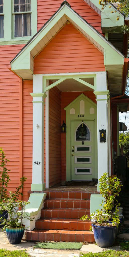
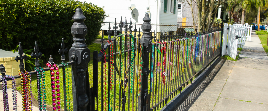
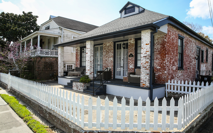
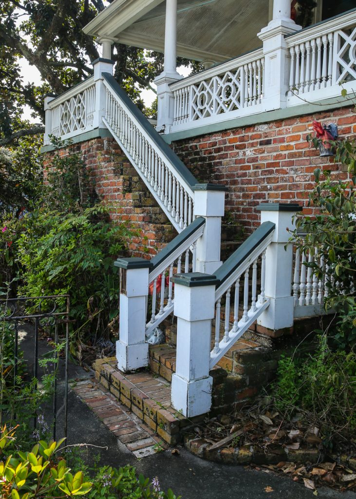
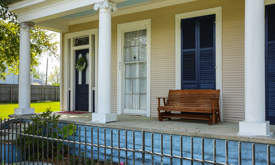
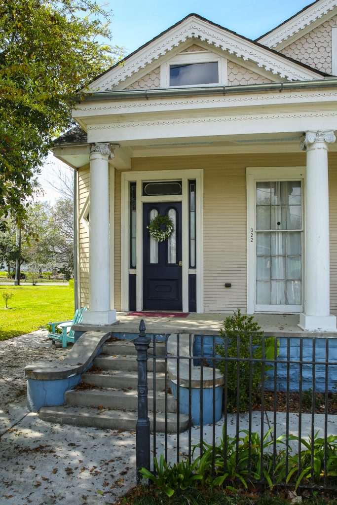
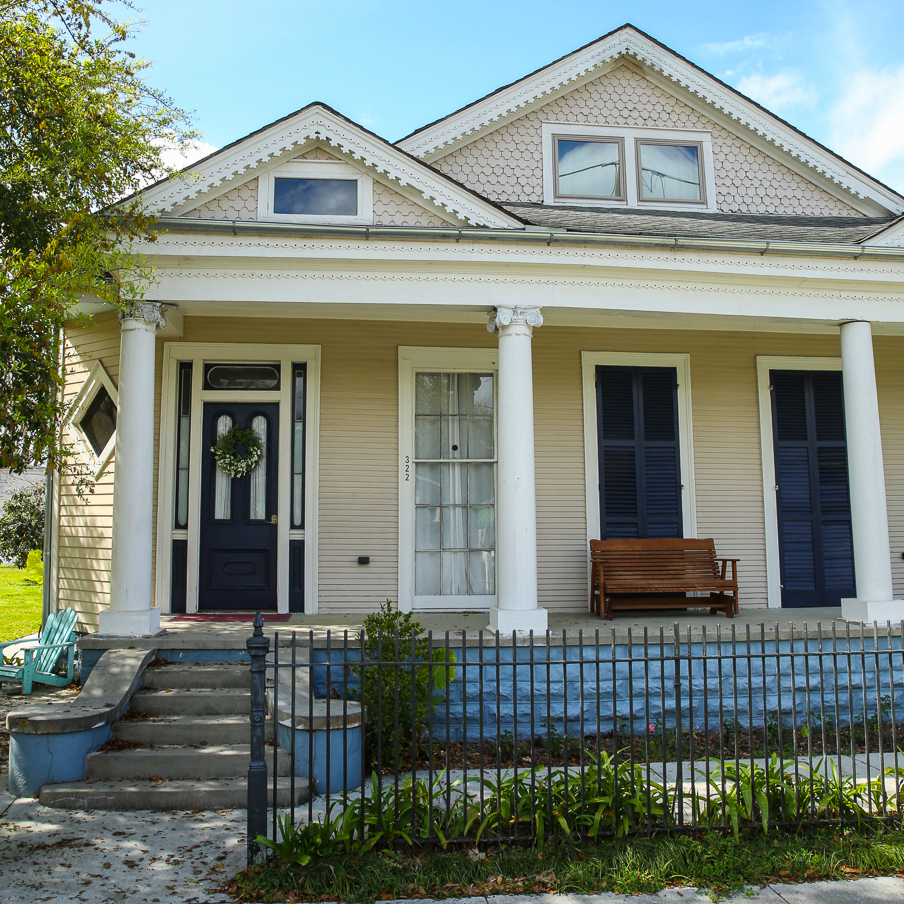
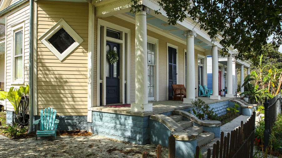
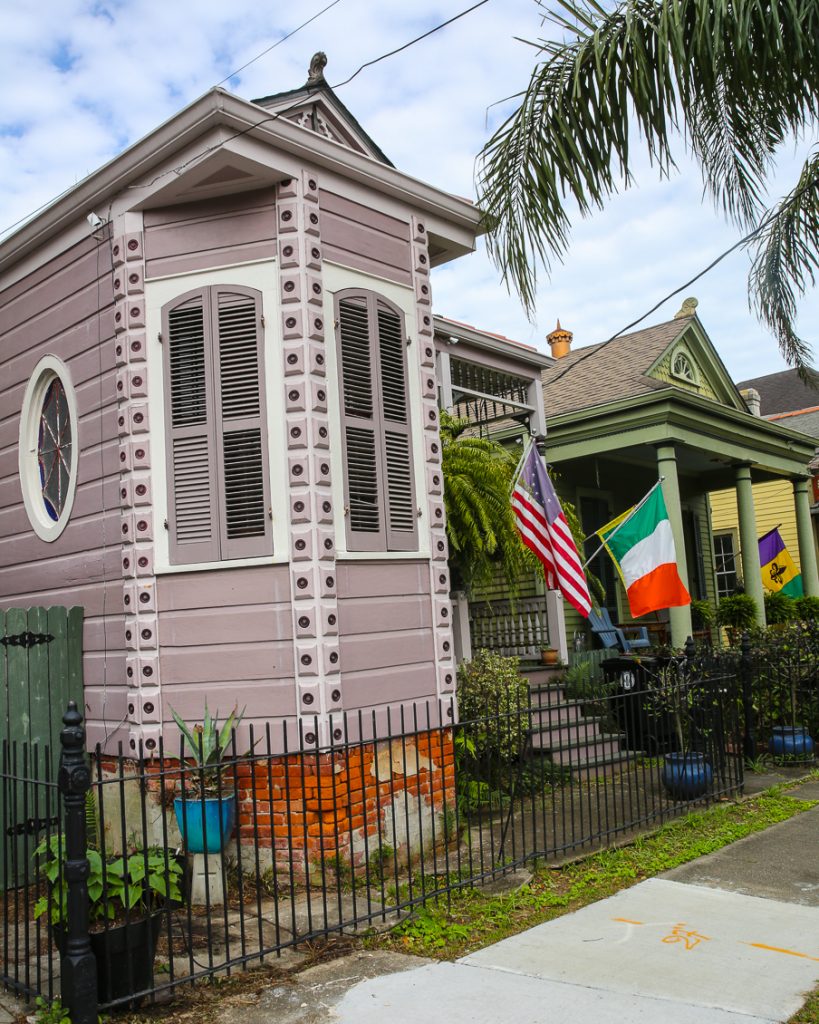
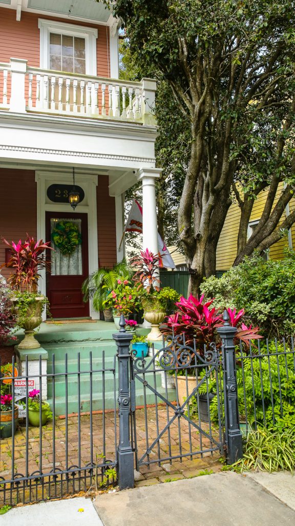
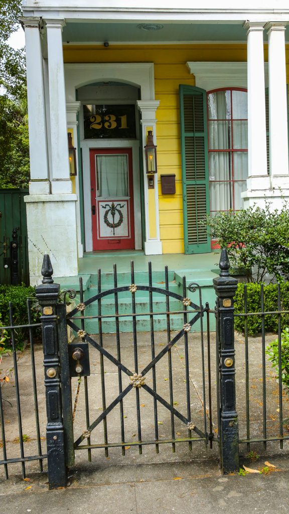
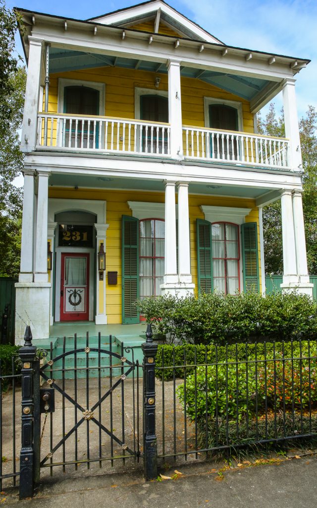
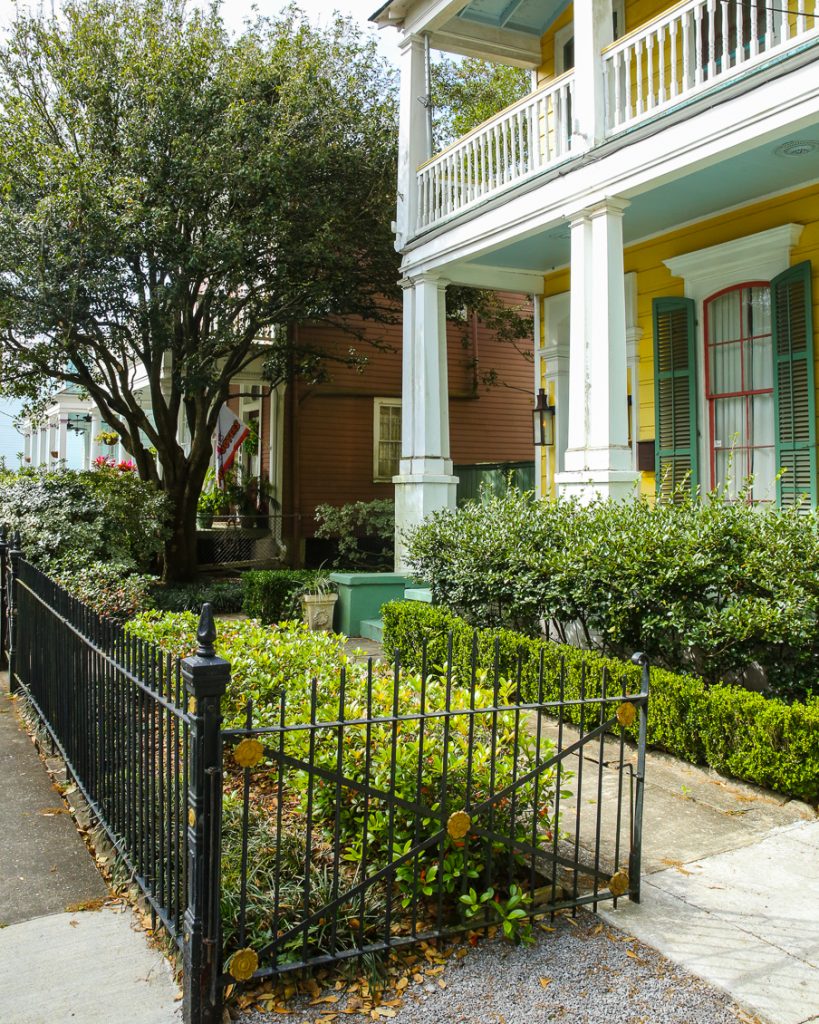
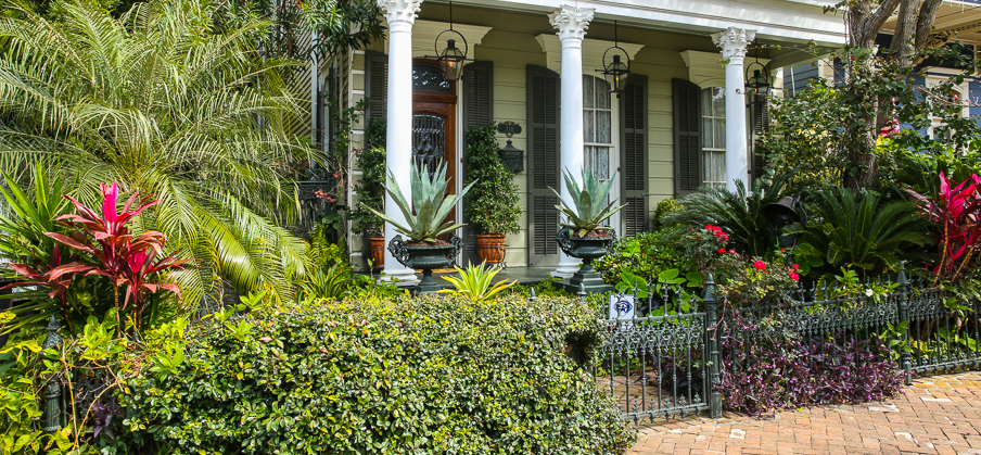
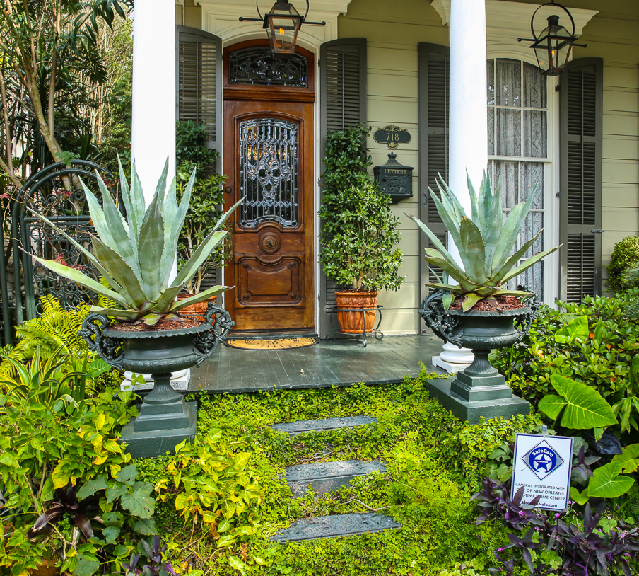
Arabi ~ a neighborhood near NOLA, just beyond the confines of NOLA.
*****
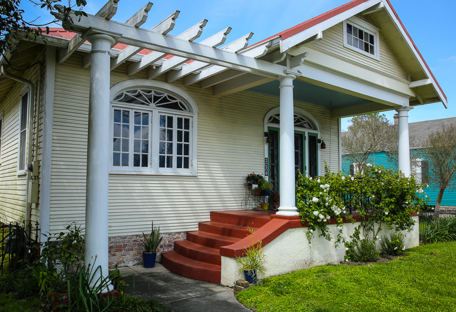
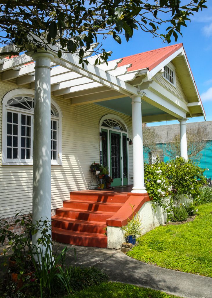
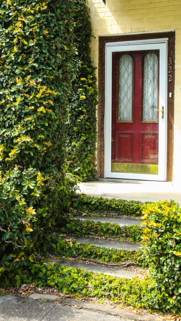
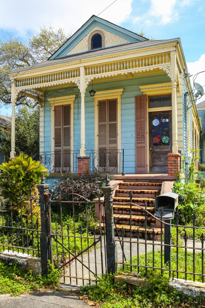
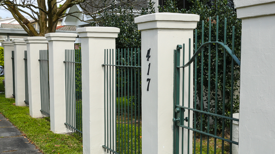
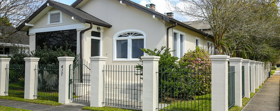
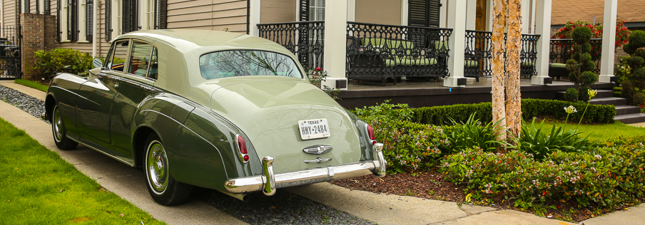
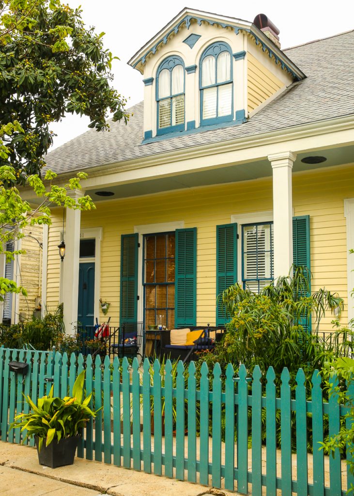
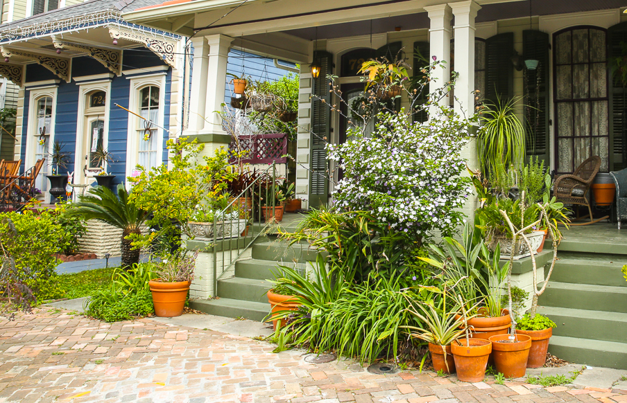
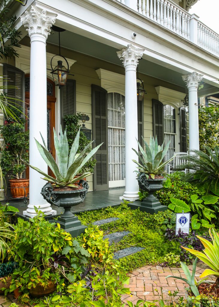
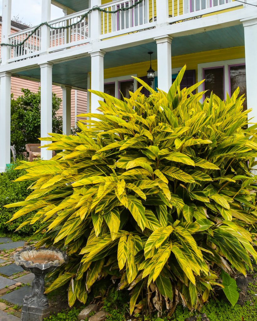
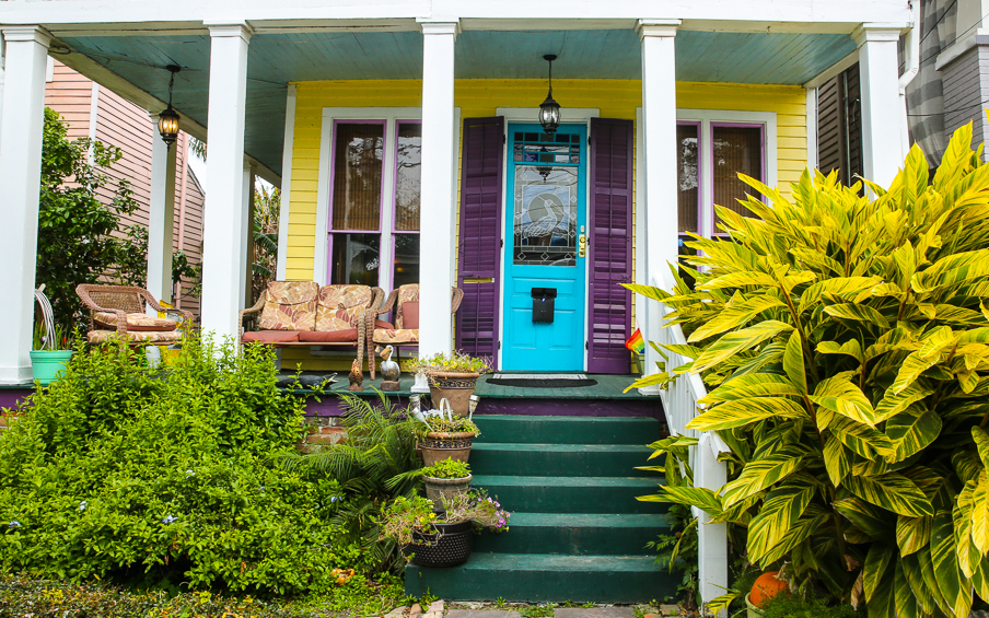
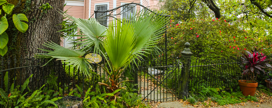
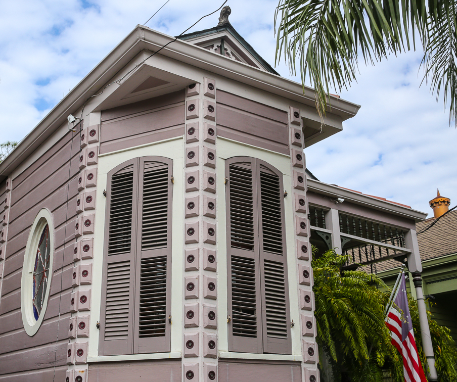
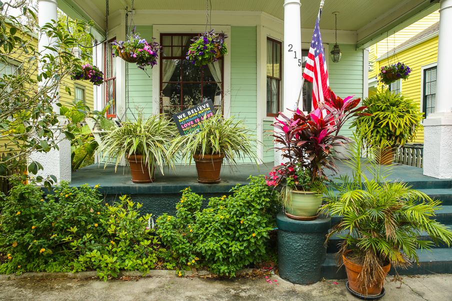
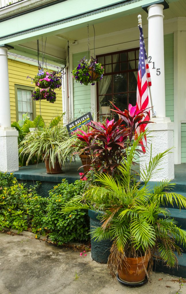
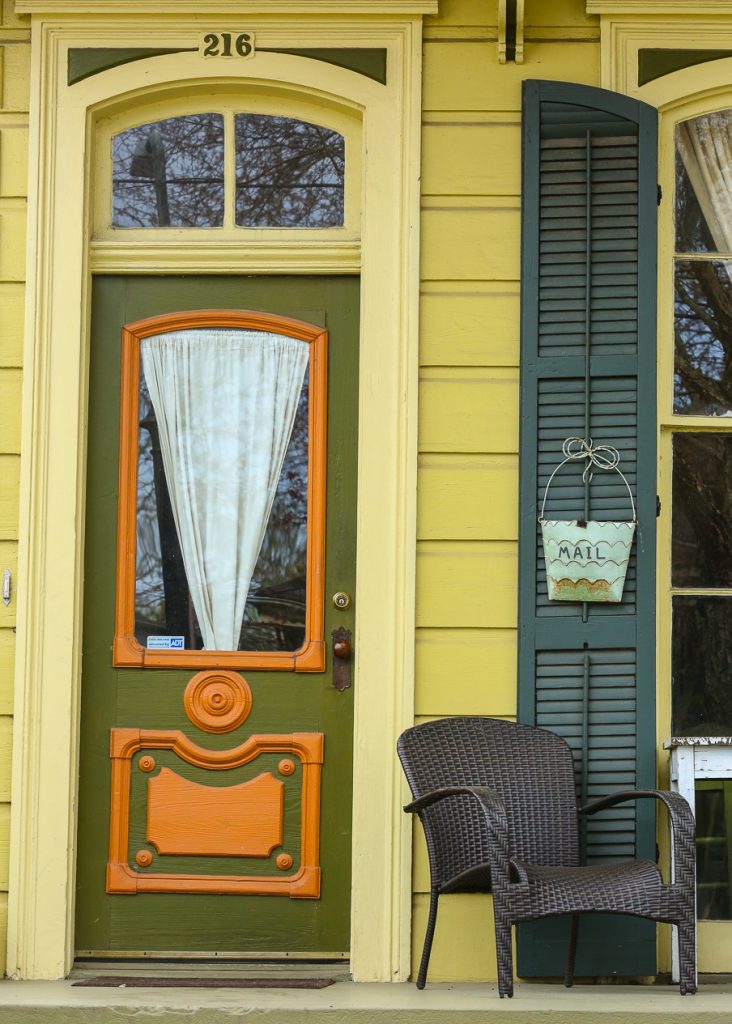
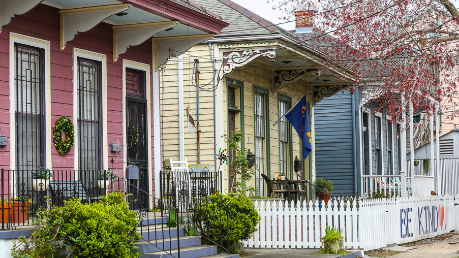
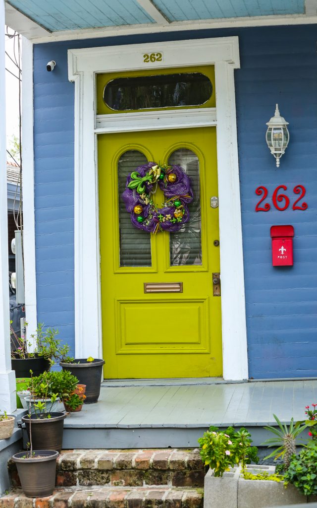
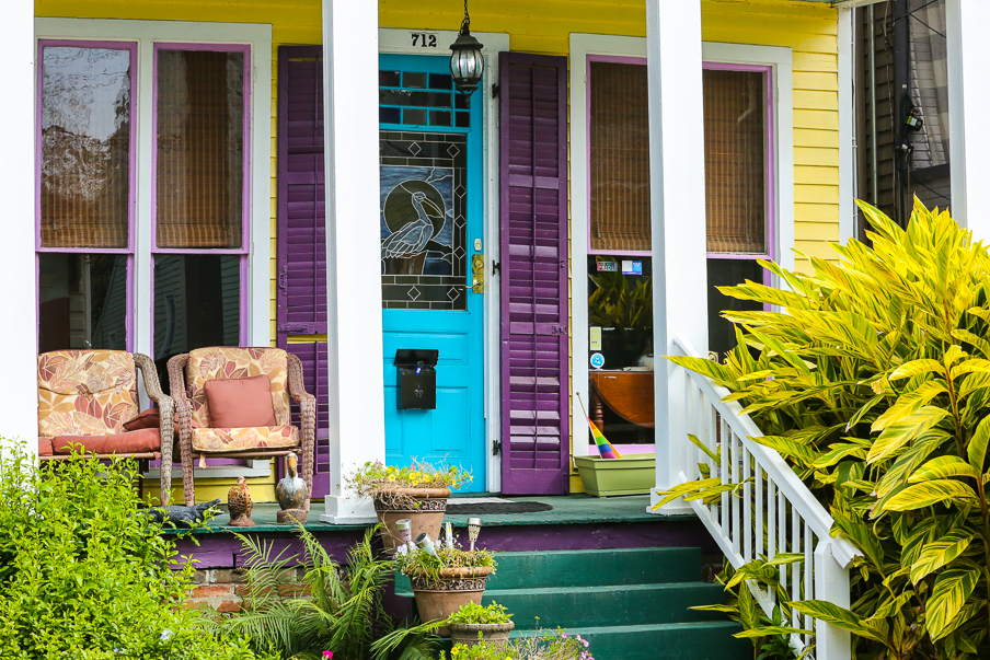
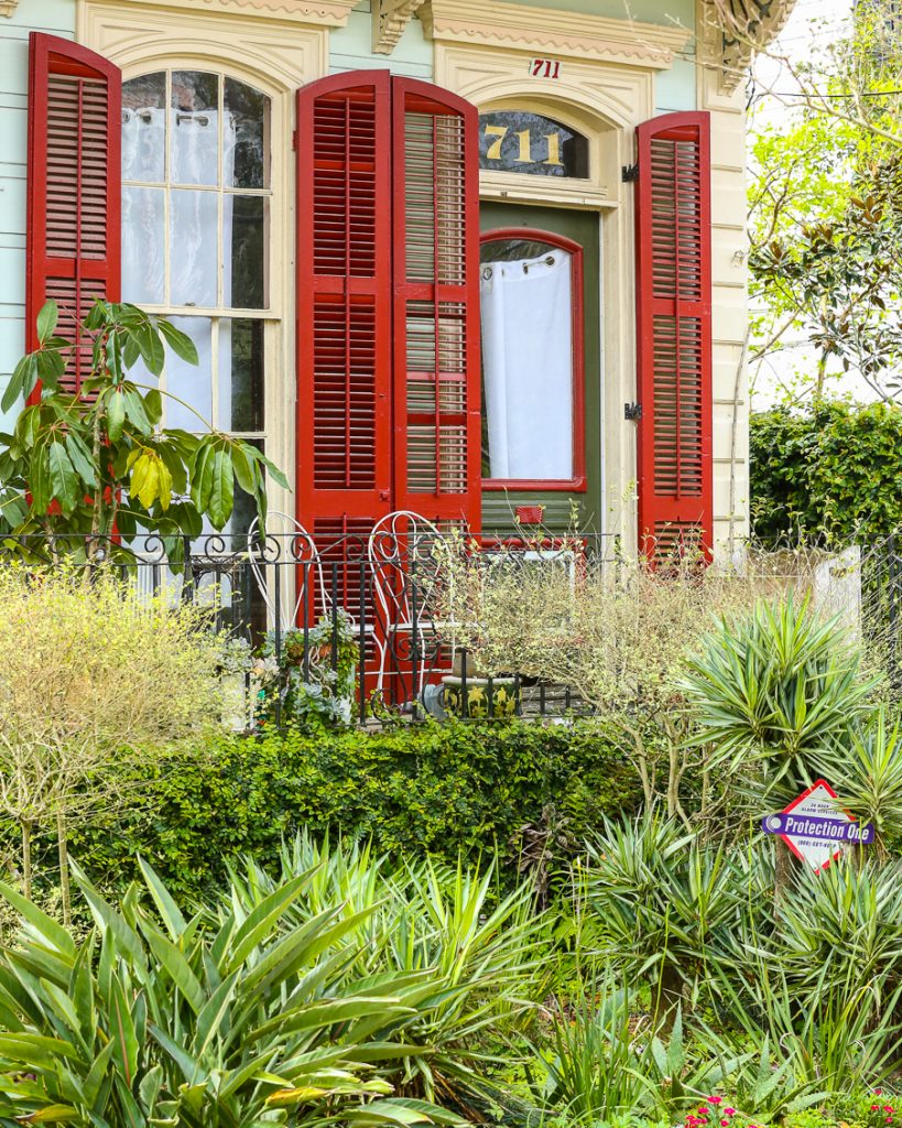
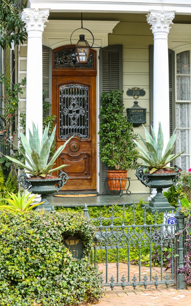
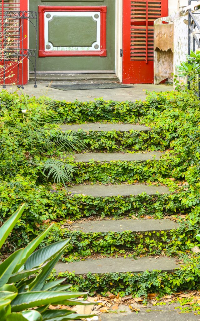
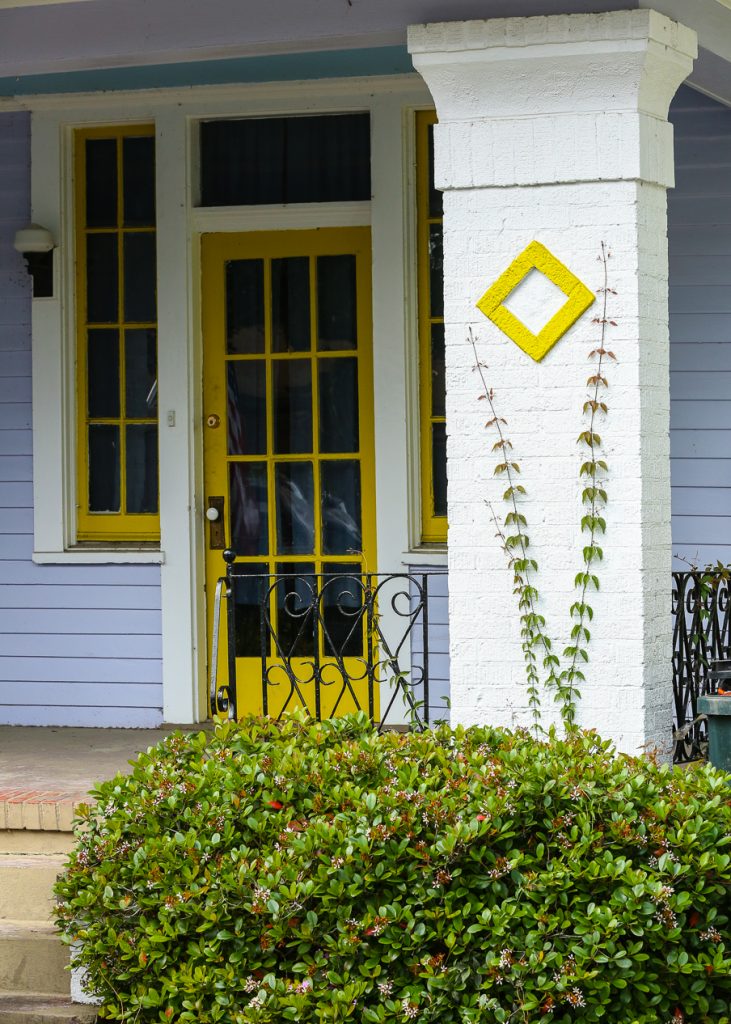
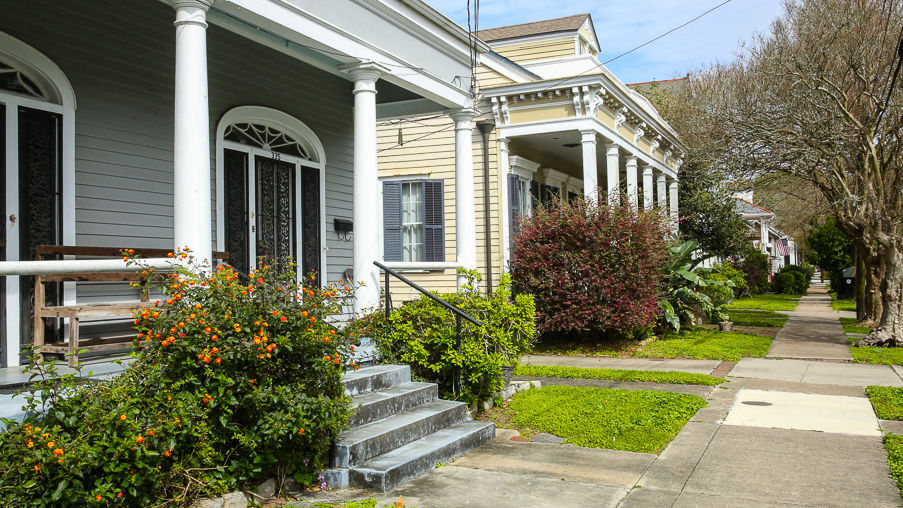
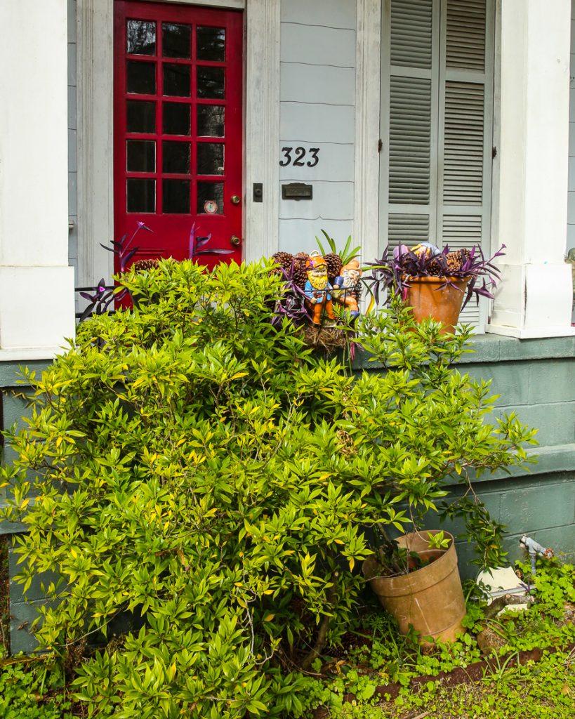
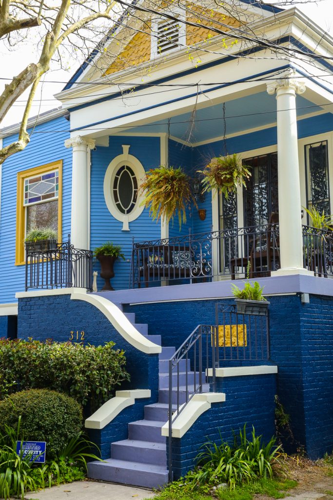
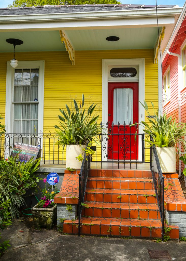
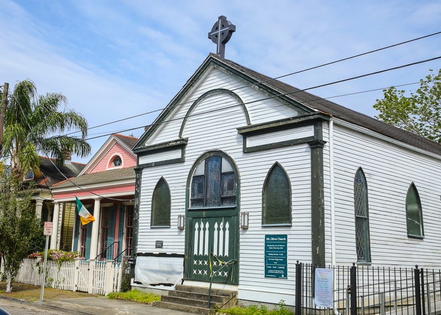
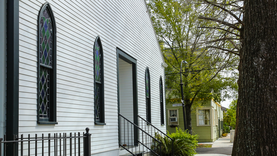
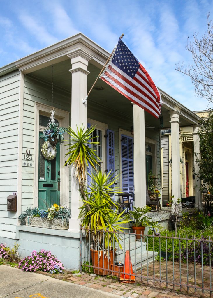
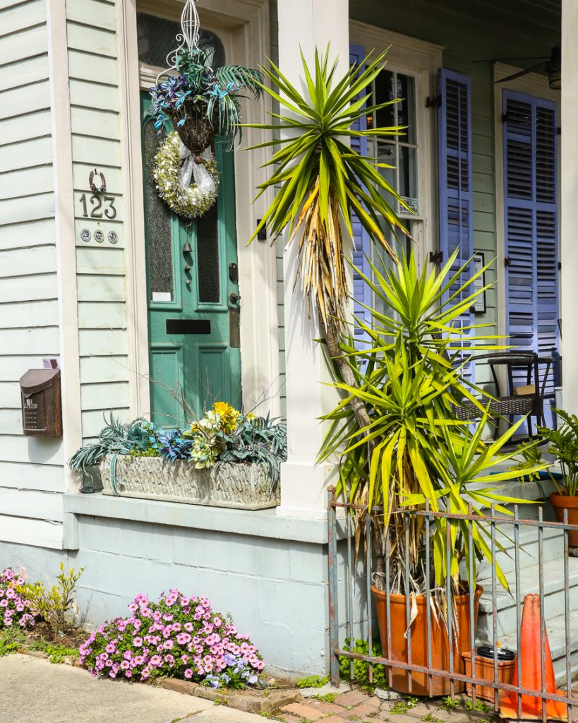
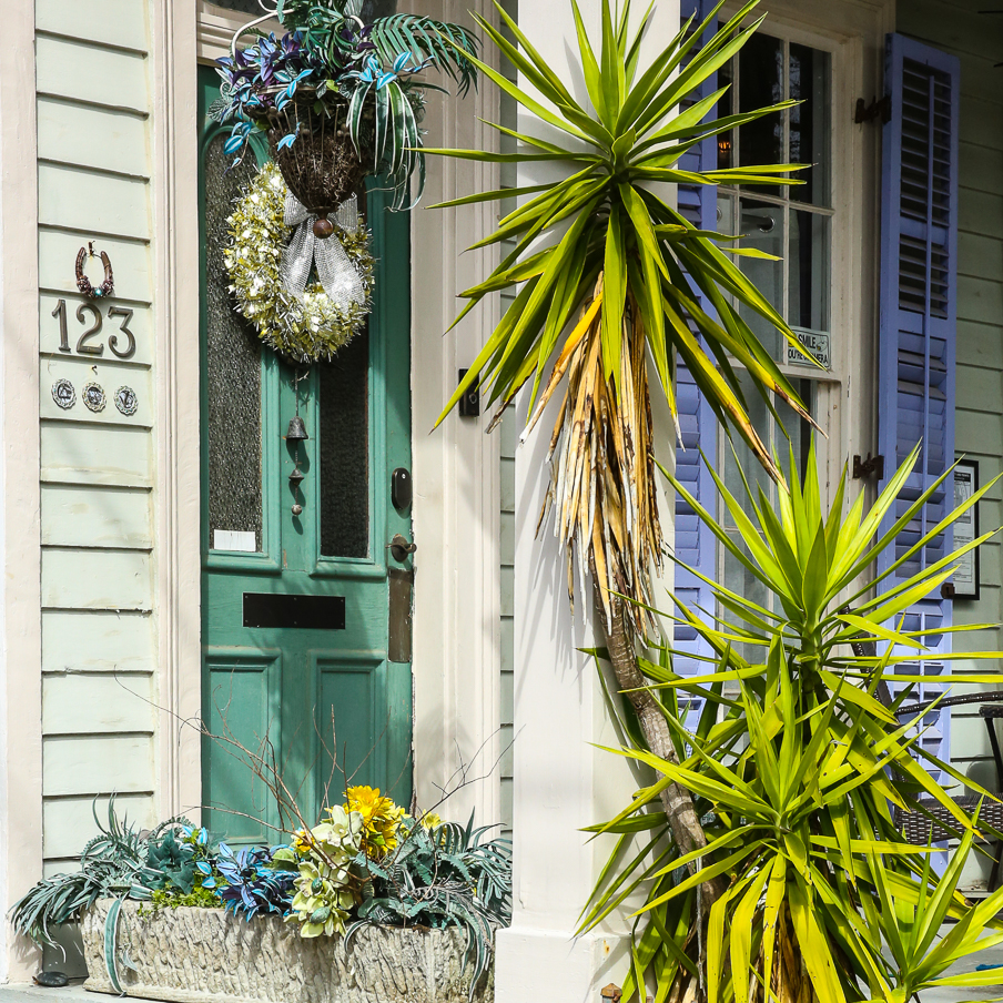
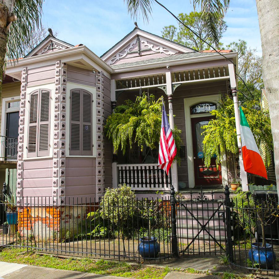
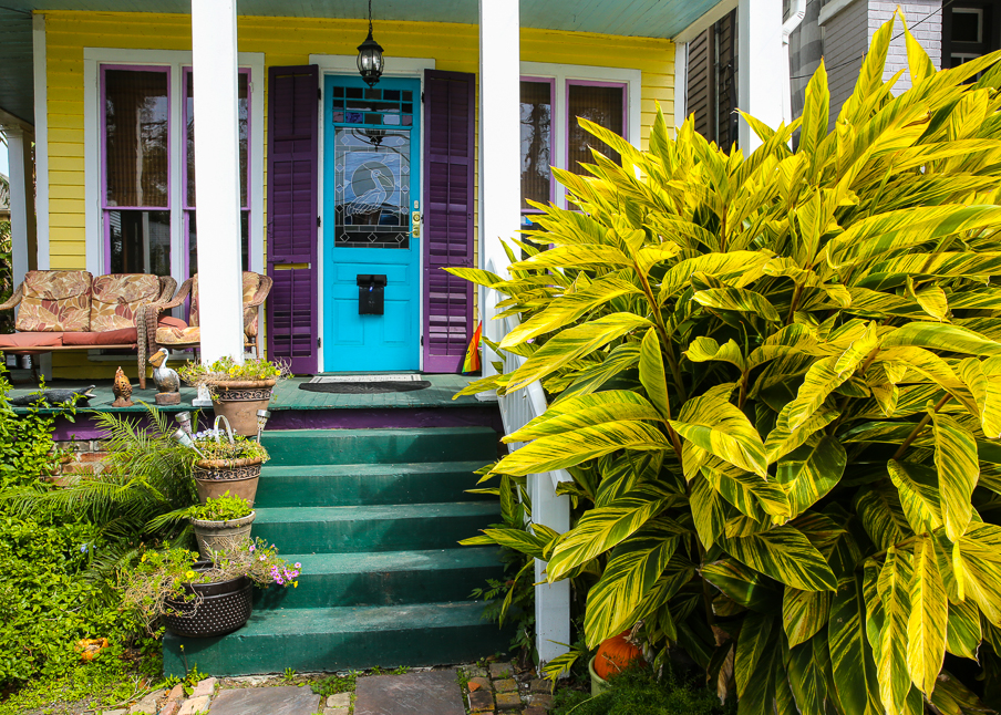
A photography walk along Angela Street and Friscoville Avenue in Arabi.
*****
Arabi is a small riverside town in St Bernard Parish immediately downriver of Jackson Barracks and just outside Orleans Parish. Like riverside neighborhoods in adjacent New Orleans, Arabi was once the site of plantations that were eventually subdivided and was originally a suburb of the city.
*****
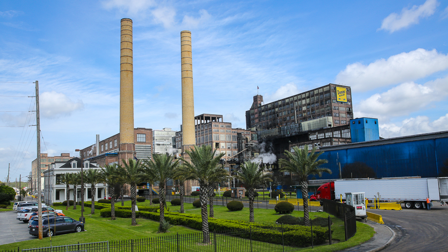
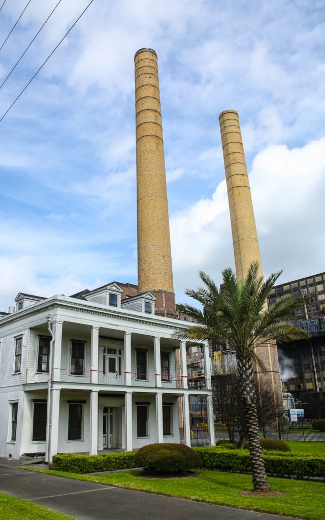
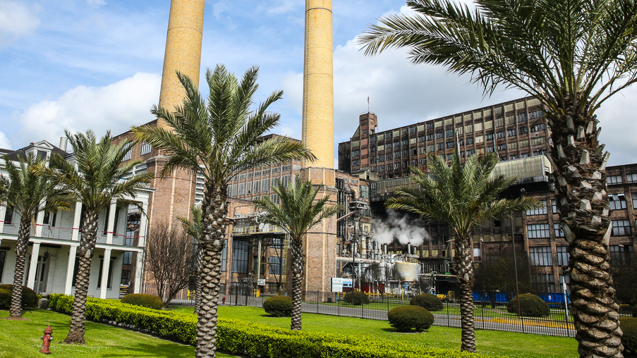
Arabi’s development did not begin in earnest until about 1880, after New Orleans banned stockyards within its city limits. The action prompted the Crescent City Stockyard and Slaughterhouse to relocate downriver to Arabi and spurred residential development in the area. When the American Sugar Refinery (now Domino) was built in 1906, the increased commerce sparked still more residential growth and the construction of Arabi’s now historic homes.
*****
Landmarks in Arabi include the historic sugar refinery and two circa 1850 plantations: LeBeau and Cavoroc, the latter on the grounds of the refinery.
*****
Although Arabi occupies the high ground close to the river in St Bernard Parish, it flooded during Hurricane Katrina when floodwalls and levees failed catastrophically. The area continues to rebuild and repopulate.
*****
Text content is quoted from New Orleans Streets – A Walker’s Gide To Neighborhood Architecture, by R. Stephanie Bruno, Pelican Publishing Company, Gretna, Louisiana 2012
*****
Expanded Gallery Link ~ Additional Arabi Images
*****
Similar Posts
Arabi ~ NOLA
Algiers Point ~ NOLA
Warning: Use of undefined constant gad_content_tag_filter_replace - assumed 'gad_content_tag_filter_replace' (this will throw an Error in a future version of PHP) in /home/dx87kwtjkt0i/public_html/wp-content/plugins/web-ninja-google-analytics/webninja_ga.php on line 1813
Algiers Point
*****
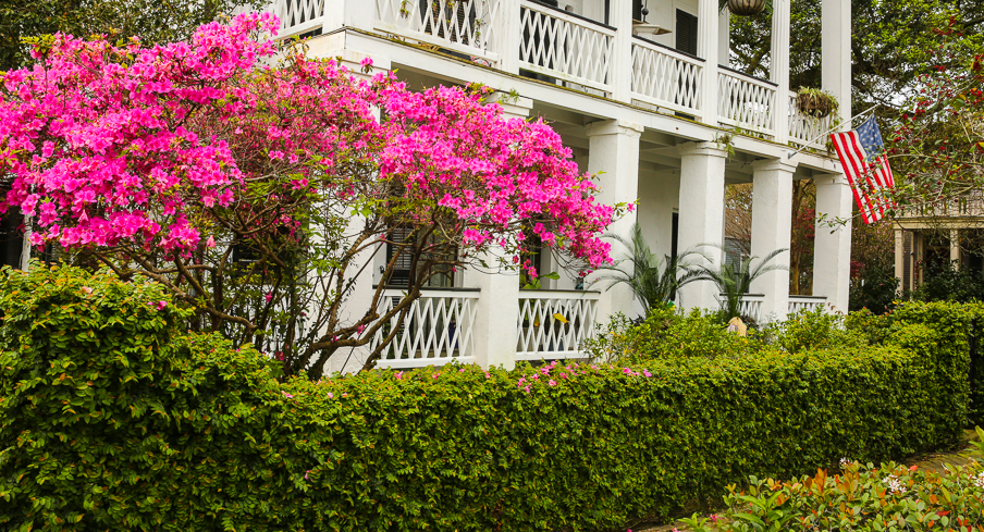
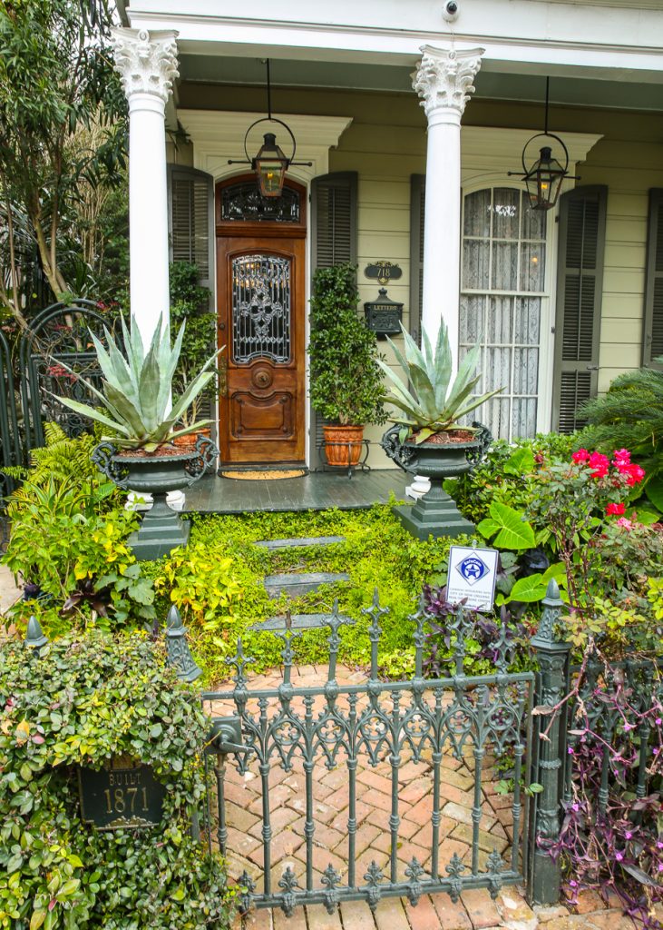
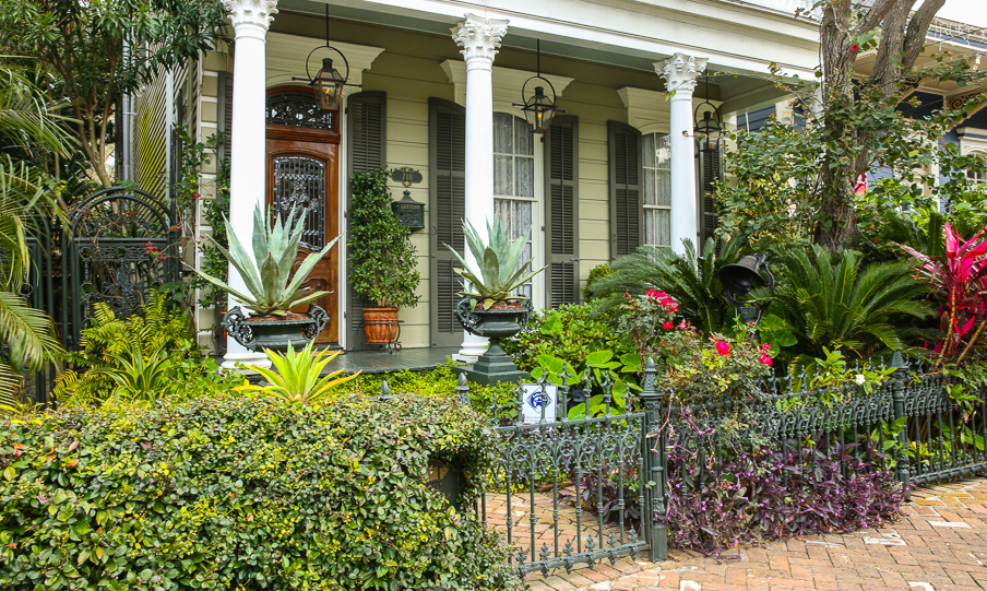
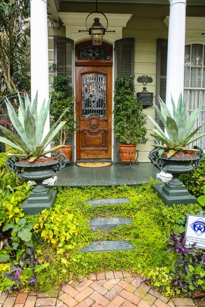
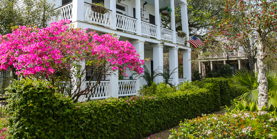
“Algiers Point is a local and National Register Historic District on the ‘Westbank’ of New Orleans, across the Mississippi River from and linked to the /French Quarter and Central Business District by the Algiers-Canal Street Ferry (in operation since 1827). Although it is separated from ‘Eastbank’ New Orleans by the river, it is nonetheless an integral part of the city and within the boundaries of Orleans Parish. As for the ‘Westbank’ and ‘Eastbank’ nomencalture, never mind that the Canal Street Ferry travels from west to east to reach the Algiers Ferry landing. Algiers Point is still considered to be on the ‘Westbank’.
*****
The Point is bounded by the Mississippi River on the north and west, by Atlantic Avenue on the east, and by Newton Street on the south (historic district boundaries vary). Before it was annexed to New Orleans as the Fifth Municipal District in 1870, Algiers was its own bustling town with its own government and industries. It was built on the site of the Duverje Plantation, which was subdivided about 1839 by its owner Barthelemy Duverje according to a plan by Alan d’Hemecourt. It grew rapidly, thanks to an ever-expanding dry-docking industry, shipbuilding, and eventually construction of the railroad. The Duverje Plantation home, built in 1812, eventually served as the Algiers Courthouse.
*****
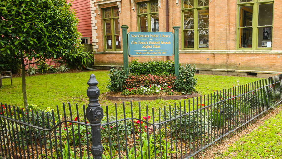
A devastating fire in 1895 destroyed nearly half of Algiers – two hundred homes and almost ten square blocks – making way for the existing courthouse as well as new homes in fanciful late-nineteenth-century and early-twentieth-century revival styles. Landmarks include the courthouse, several churches, historic school buildings and the 1907 Hubbell Library, built with funds from Andrew Carnegie.
*****
Today, the Algiers Point Association looks after the quality of life in the neighborhood and sponsors an annual home tour in October. The springtime counterpart to the tour is the Old Algiers RiverFest, which draws thousands to the Westbank of the river to sample New Orleans food, music and crafts.
*****
Text content is quoted from New Orleans Streets – A Walker’s Gide To Neighborhood Architecture, by R. Stephanie Bruno, Pelican Publishing Company, Gretna, Louisiana 2012
*****
Expanded Gallery Link ~ Additional Algiers Point Images
*****
Similar Posts
West Texas ~ Cathedral Mountain Road
Warning: Use of undefined constant gad_content_tag_filter_replace - assumed 'gad_content_tag_filter_replace' (this will throw an Error in a future version of PHP) in /home/dx87kwtjkt0i/public_html/wp-content/plugins/web-ninja-google-analytics/webninja_ga.php on line 1813
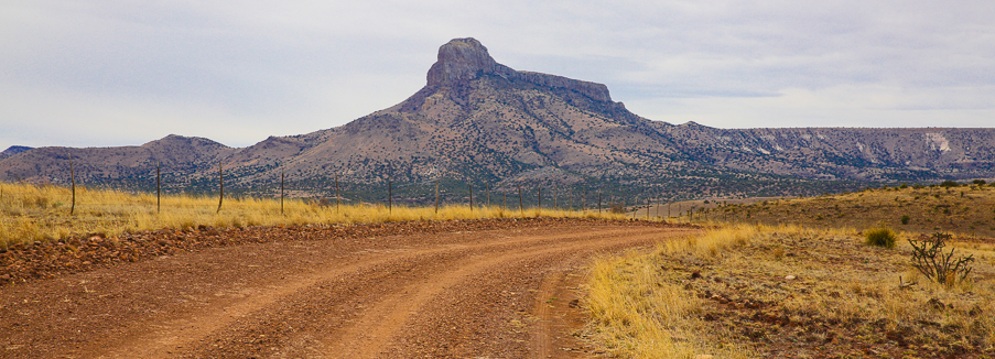
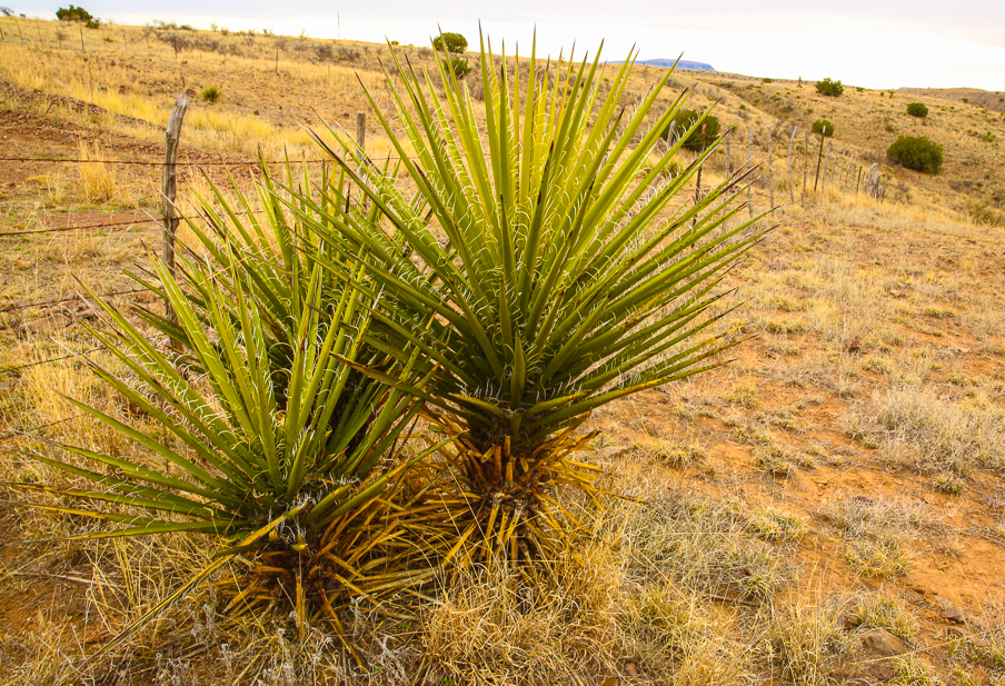
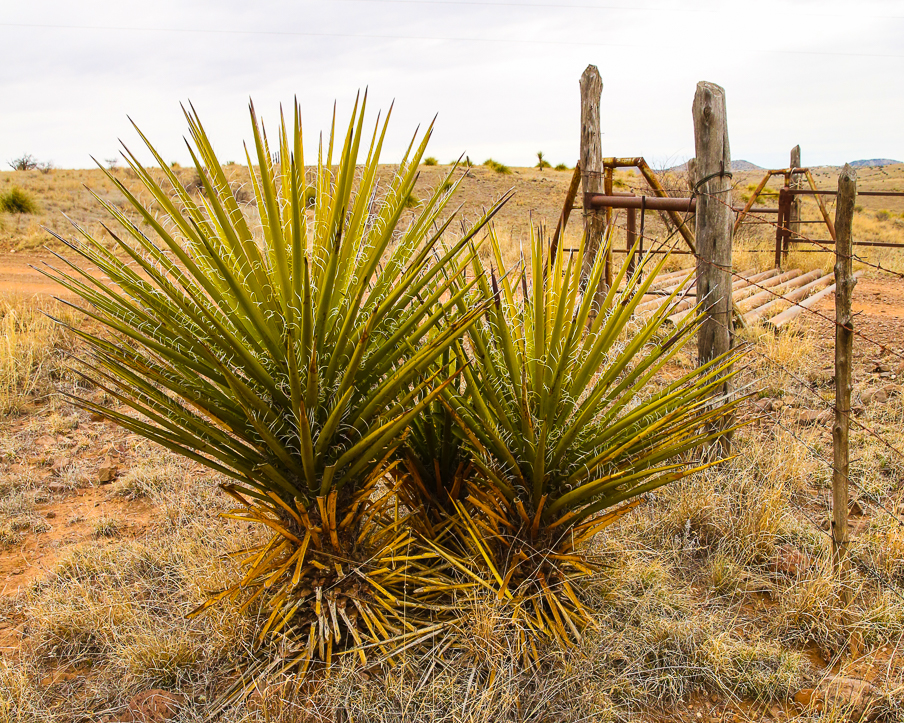
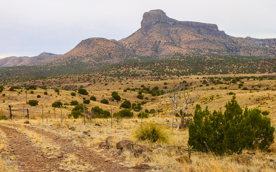
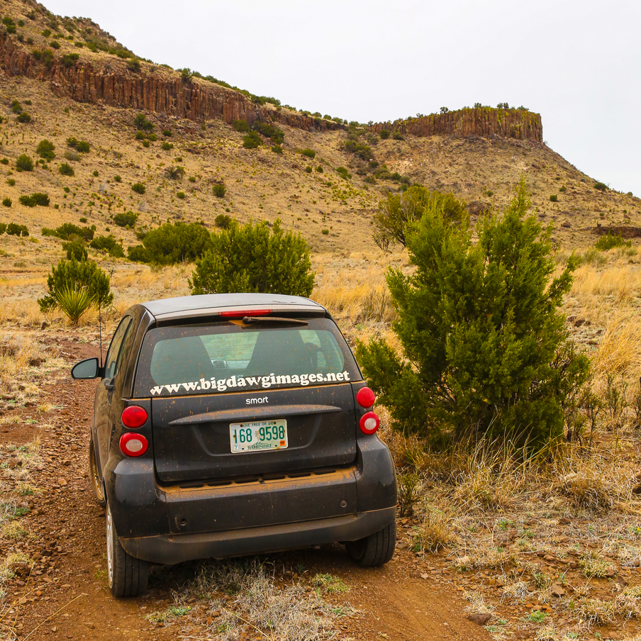
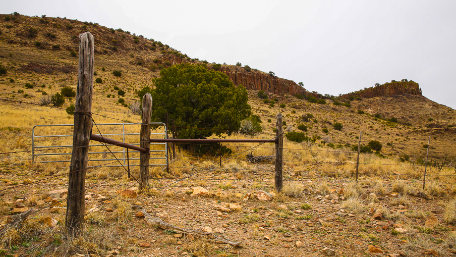
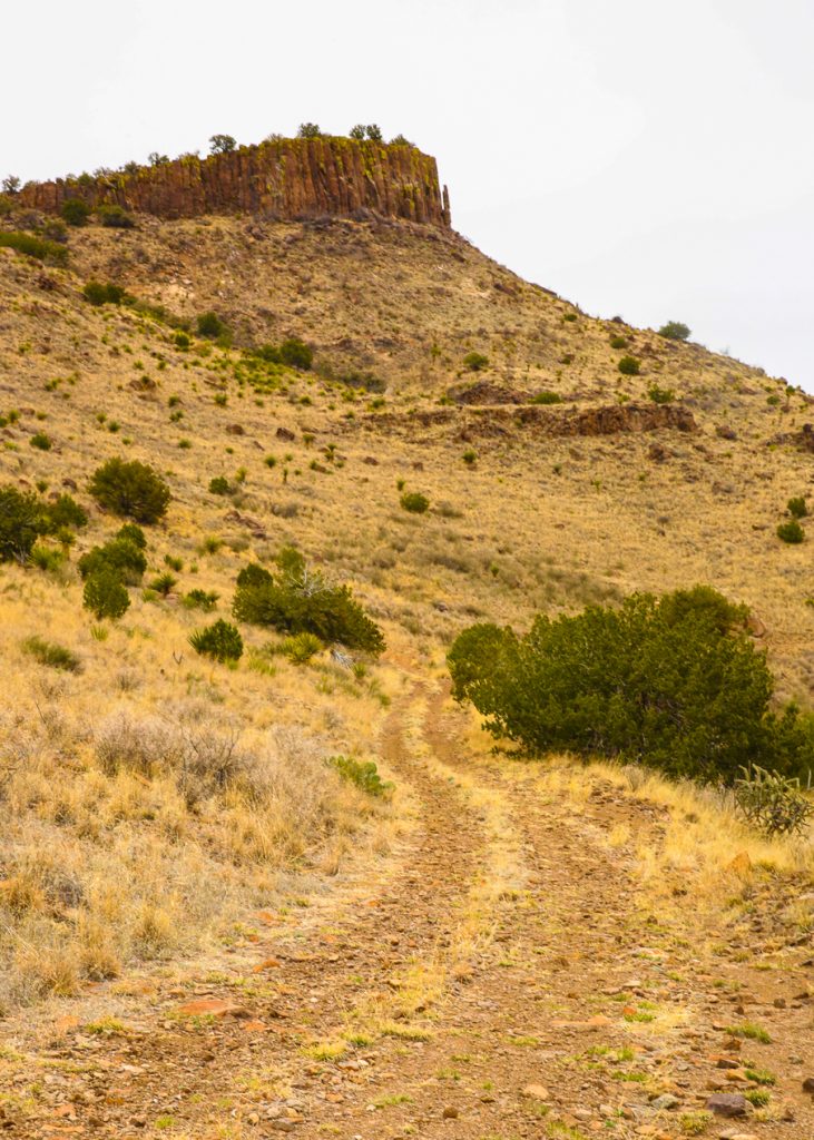
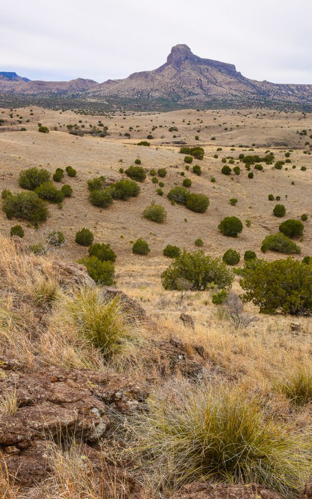
West Texas ~ Cathedral Mountain Road
South of Alpine off the road to Big Bend NP
CATHEDRAL MOUNTAIN (Brewster County)
Cathedral Mountain is twelve miles south of Alpine in northwestern Brewster County (at 30°11′ N, 103°40′ W). With an elevation of 6,868 feet above sea level, it rises 1,900 feet above State Highway 118, four miles east. Cathedral Mountain is an intrusive mass of igneous rock that has been exposed by erosion. Its shallow, stony soils support Douglas fir, aspen, Arizona cypress, maple, ponderosa pine, and madrone.
(https://tshaonline.org/handbook/online/articles/rjc17)
*****
West Texas ~ Cathedral Mountain Ranch
Location
Cathedral Mountain Ranch, named after the iconic 6,868-foot mountain peak located on and towering over the ranch is only 14 miles south of Alpine fronting on Highway 118 and only 30 minutes to the Alpine Airport. This ranch is the most live water ranch in West Texas with over 5 miles of spring fed Calamity Creek. Close to Alpine, Marfa, and Ft Davis the ranch is also at the gateway to the Big Bend Country with its over 1,000,000 acres of parks and public lands and is an hour’s drive north of Lajitas and Terlingua and their outdoor adventures and amenities. With elevations between 4,800 and 6,868 feet you are in one of the best year-round climates in the state and arguably the entire country.
Acreage
10,000 +/- acres in Brewster County.
Description
Cathedral Mountain is a landmark seen all over the three counties of Far West Texas. Famous as a historic cattle ranch, the wooded slopes of the mountains, rolling grassy hills, and the flowing creek and springs sets this ranch apart from any other property in the Trans Pecos. A well-maintained dead-end road runs through the northern edge of the ranch creating easy access to the various pastures, lakes, improvements and to a few neighboring ranches to the west. This is a working ranch with excellent pens, barns, and improvements with an owner’s log home, foreman’s house and several other living quarters. At one time years ago, this ranch was run as a guest ranch and has the potential to be another Cibolo Creek but at a higher cooler elevation with more water. Calamity Creek is spring fed and due to natural rock outcrops and an excellent damn site creates a huge clear 10-acre deep lake. This stocked lake has a natural rock spillway that flows water to the creek below where there are several other excellent damn sites for more impounded waters. The lake has little variation due to the spring contribution from above and is an excellent lake for bass and catfish. This is high Chihuahuan Desert grasslands and riparian woodlands studded with interesting outcrops of rocks and large trees, creating a scenic wonderland. There is a road network over the ranch crossing Calamity Creek, L-H Draw and their various tributaries with adjacent meadows meandering around prominent hills with landscape views of area mountains including its name sake Cathedral Mountain.
Habitat
Cathedral Mountain Ranch is dominated by mile-high grasslands of Cane Bluestem, Blue Gramma, and Sideoats Gramma with rhyolite palisades mountains studded with Juniper, Emory and Grey Oaks. Excellent grasses and Chihuahuan Desert plants provide habitat for the native animals, livestock and the people who live there. Calamity Creek has numerous stands of large Emory Oaks, Cottonwoods, Arizona Ash, Desert Willow, and other riparian vegetation including Madrone. This diversity of plants especially near and around the springs and riparian areas are unequaled in the Trans Pecos Region. This is historic ranching country and represents some of the best cow/calf range in West Texas.
Wildlife
Because of the diverse habitat with springs, creeks, boulders, trees, grasses, and mountains there is an abundance of game and non-game animals and wildlife on Cathedral Mountain Ranch. This is big mule deer and whitetail deer country with lots of blue quail, mourning dove, and Rio Grande turkey, making this a hunter’s paradise. There are also smaller animal and bird species found here like javelina, fox, ringtail, mountain lion, hawks, hummingbirds, Montezuma quail, and a variety of neotropical songbirds. Native trees, brush, and grasses provide excellent habitat for these species and many native birds and other non-game animals. Wooded wet canyons and lush grasslands provide excellent habitat for migratory songbirds. The lakes are not only excellent fishing opportunities they are also loaded with wintering ducks.
Improvements
The Ranch has a 3,000 sf owners Lodge set up facing south framing Cathedral Mountain and the spring lake running downstream into the large rock lake. The lodge has 3 bedrooms, 3 baths, 4 lofts, a great room and game room. A porch runs down the entire south side of the home with a huge deck creating excellent entertaining and a viewing platform for the ranch.
At the entrance is a 3-bedroom 2 bath foreman’s home set in a private valley with a large shop, outbuildings, and a rodeo arena. There are new all steel pipe shipping pens with scales that are easy to access and a dream to work. Additionally, further interior on the ranch is the historic cedar log pens, workers home and the old Brown guest house complex. This is the location of the Cathedral Mountain Lodge which burned in 1956 but was a dude ranch for many folks all over the state for decades. The adobe back row houses remain next to a current workers home creating a courtyard that could be remodeled into a very nice entertaining and living area. The past owners retained a 1-ac old historic home site that is located on the north property boundary just beyond the Brown Headquarters.
Water
Cathedral Mountain Ranch has abundant groundwater and a live creek called Calamity Creek running for over 5 miles through the middle of the ranch as well as several year-round springs and lakes. L-H Draw a tributary to Calamity Creek runs through the ranch and has live water for over 2 miles to the beautiful confluence of Calamity. There is an already engineered additional dam site on Calamity in a natural canyon that can add another huge water feature to the ranch. There are 4 wells on the Ranch but with the live creeks, springs, lakes and tanks water is abundant all over the ranch.
( kinglandwater.com/properties/cathedral-mountain-ranch/ )
