Posts tagged ‘Floodwall’
Delacroix Island Blue Crab Fishery
Warning: Use of undefined constant gad_content_tag_filter_replace - assumed 'gad_content_tag_filter_replace' (this will throw an Error in a future version of PHP) in /home/dx87kwtjkt0i/public_html/wp-content/plugins/web-ninja-google-analytics/webninja_ga.php on line 1813
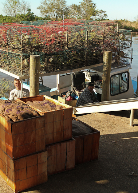
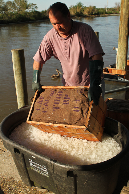
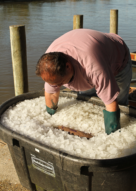
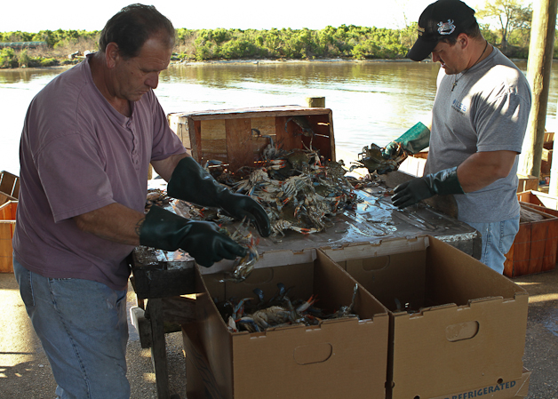
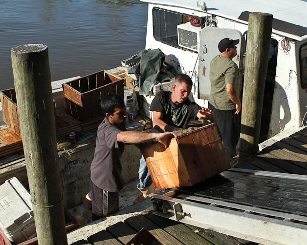
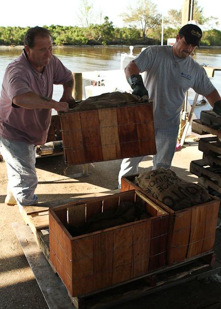
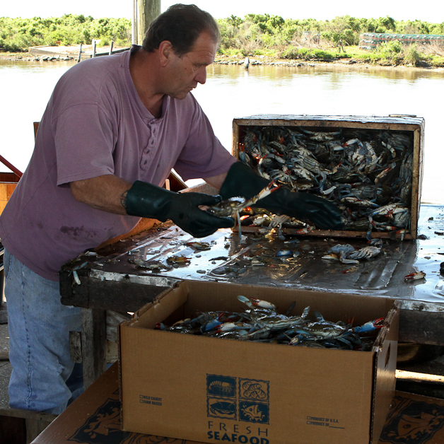
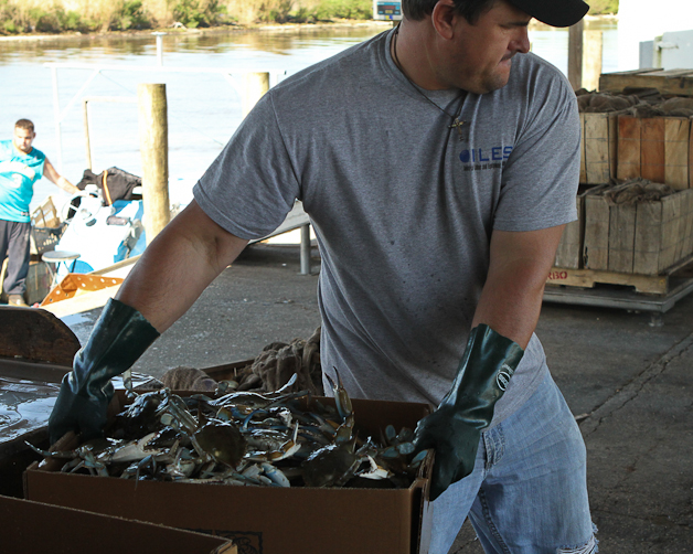
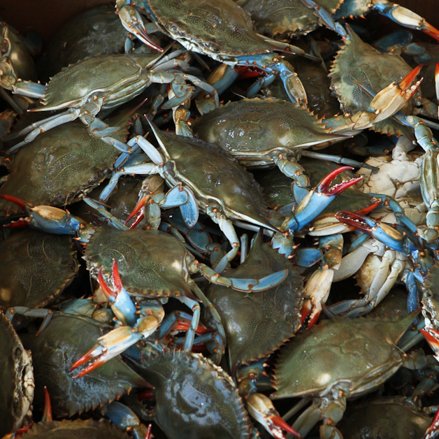
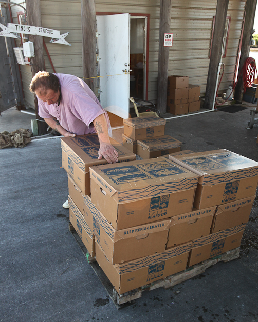
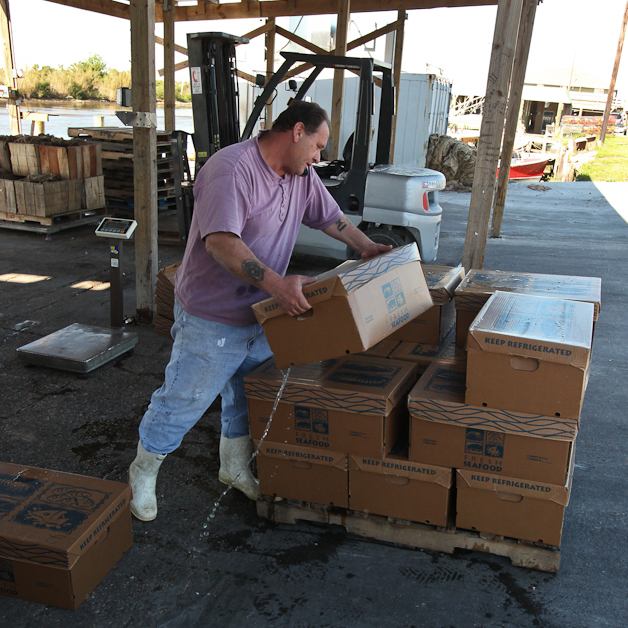
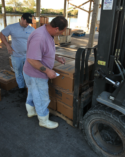
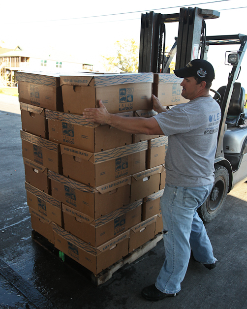
Caught, sorted, iced, packed and shipped out of the open-air facility that is Tino Mosen’s Seafood of Delacroix, Louisiana.
Destined for the seafood restaurant trade of Baltimore, Maryland in a day or two.
America, appreciate your blue crab feast. Lots of labor, effort and resources go into putting that dish on the restaurant table.
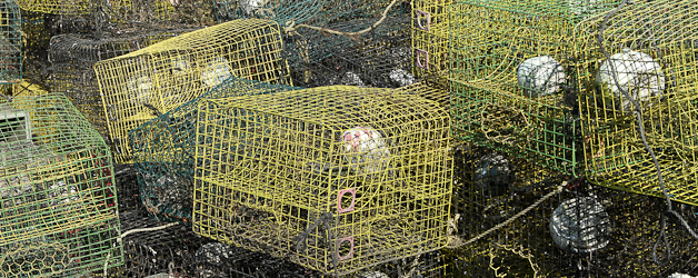
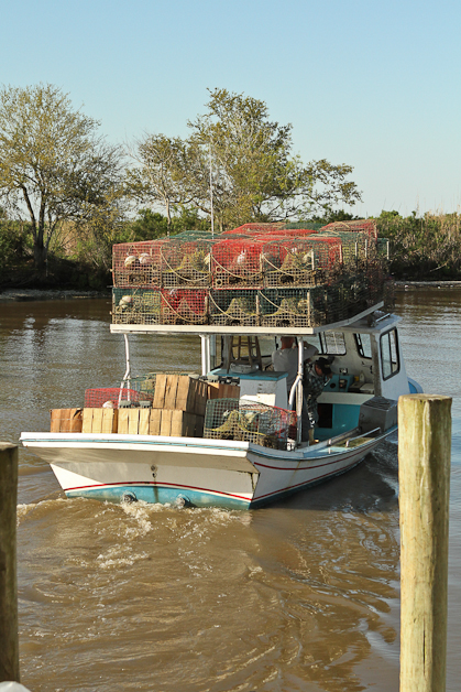
Boats, big and small, traps and bait, skyrocketing fuel, time, long days, backbreaking work, effort and skill: two or three men.
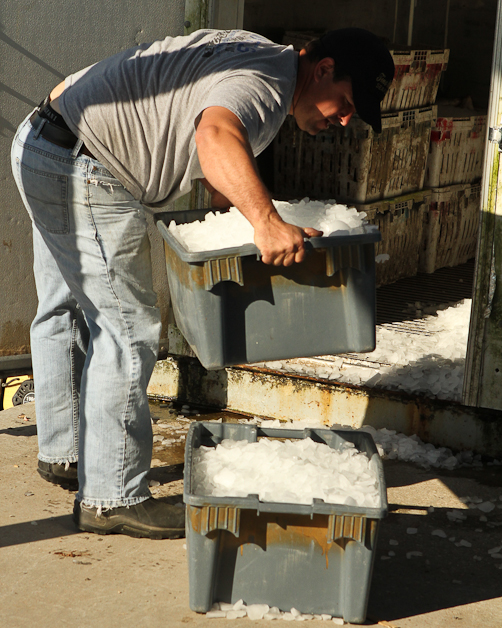
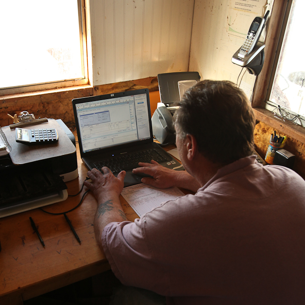
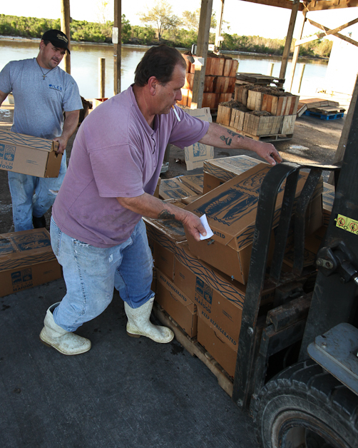
Unloading, icing, sorting and grading, packing, cooling, packing, stacking and loading by order and then the paperwork: two men.
Loading and trucking, at least twice, skyrocketing fuel again: Louisiana to Maryland. The fish market in Baltimore. Into the seafood chef’s kitchen and on to your palate.
Once shrimp season comes round this cycle will happen all over again in the evening; daylight for crabs and night time for shrimp.
Delacroix Island, Louisiana, south and east of New Orleans. Now below the flood-wall, along the bayou where it looks and feels like the land ought to be covered by water every now and then.
Washed and scrubbed by the Gulf every now and then. Not if but when.
Prior to Katrina a couple hundred families lived and worked the water out of Delacroix.
Now … maybe twenty full time families in Delacroix and everybody else that returned to work the water after the Katrina diaspora lives on the other side of the Caenarvon-Verret flood-wall.
Is the fishery rebounding or has it been knocked out by the double whammy of Katrina and the BP Spill?
Thank You : Russell Pratt & Phil Morales of Tino Mones’ Seafoods
St Bernard Levee System
Warning: Use of undefined constant gad_content_tag_filter_replace - assumed 'gad_content_tag_filter_replace' (this will throw an Error in a future version of PHP) in /home/dx87kwtjkt0i/public_html/wp-content/plugins/web-ninja-google-analytics/webninja_ga.php on line 1813
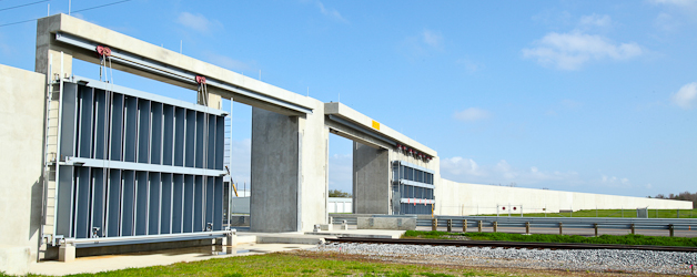
Just south of the entrance to St Bernard State Park on LA 39 in St Bernard Parish, Louisiana is the Army Corps of Engineer’s newly completed 8.5-mile-long floodwall between Verret and Caernarvon.
These images are from on the adjacent and perpendicular Mississippi River levee below the new floodwall.
“The entire parish of 60,000 people was flooded in August 2005 when Hurricane Katrina hit. The area’s population has not recovered.
Before the storm, the corps says the average height of the levee system was 14 feet. Now, they stand at between 27 feet and 32 feet.“
On the unprotected side of the Verret-Caenarvon levee is the community of Braithwaite and Plaquemines Parish protected by an 8 foot levee.
“The contrasts between the two adjacent levees will be stark. The private levees protecting the Braithwaite community on Plaquemines’ Eastbank stand at just 8 feet. Those levees were overtopped in 2008 during Hurricane Gustav.
The levees from Verret to Caernarvon in the St. Bernard system will tower an estimated 26 feet.“

